
Visualize, Utilise spatial insights in real-time
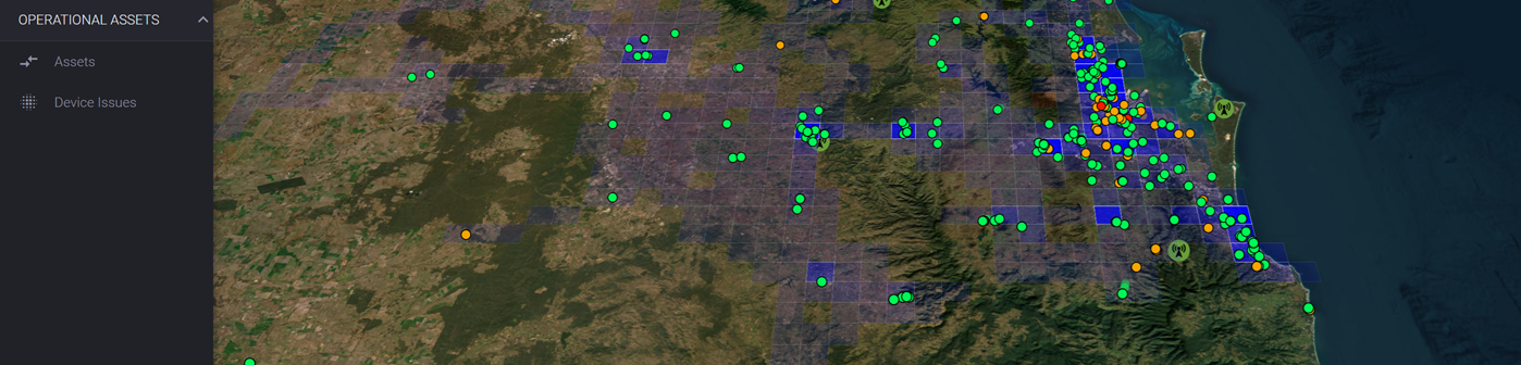
Interactive Group's VUpt solution now includes a module providing real-time spatial fleet and network insights.
The VUpt spatial module extends the product value proposition by leveraging data from your Location Services Connection (LSC) feed via your communications provider to enable a range of out-of-the-box functionality to enhance operational monitoring and analysis capabilities.
Standard features include:
· Geographic Area Maps
· Layers to represent specific elements of customer networks and service areas
· Definable Regions for monitoring
· Real-time "drive" analysis of unit signal strengths (RSSI)
· Coverage Dashboard View
· A range of Configuration & Management Controls
· New Reports & Raw Location Events
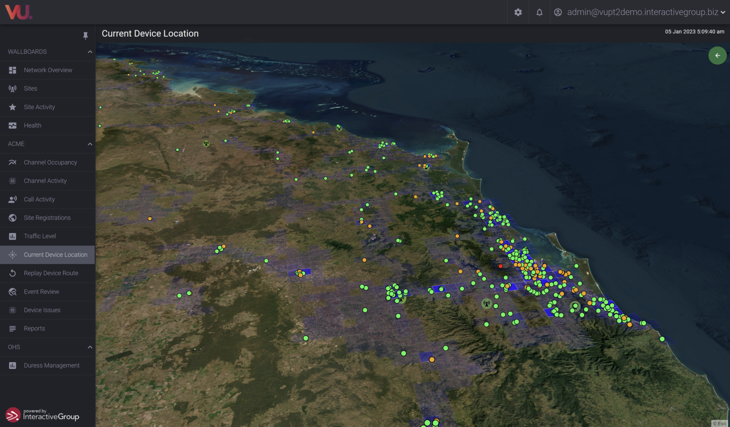
The VUpt spatial module solution provides a range of analysis and outputs on a 3-D platform , not achievable in a 2-D only environment. The standard solution now enables you to embark on Dynamic Asset Management via real-time data processing and performance monitoring.
We recently installed the spatial module into a major Queensland based Utility organization, fully integrated with their existing P25 Trunked Radio Monitoring solution. They have commenced with real-time fleet tracking and signal-strength (RSSI) coverage analysis. Real-time drive analysis is providing tremendous insights into resource Utilisation and Network performance
Murray Evans - Director, Interactive Group
Introduction
Details
Quote
See your world, from our Viewpoint.

